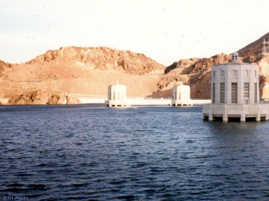
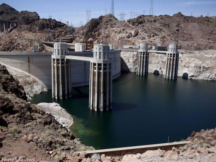
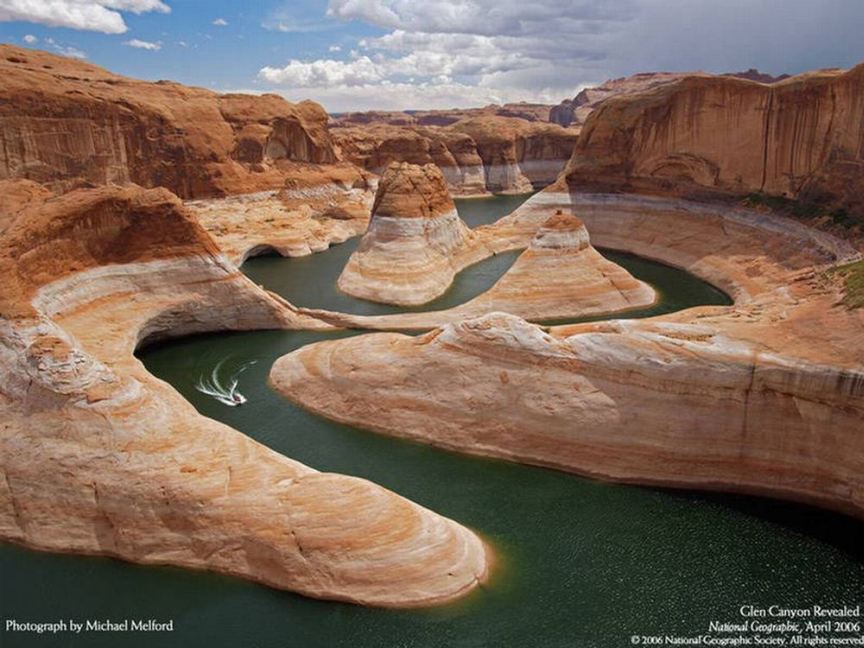
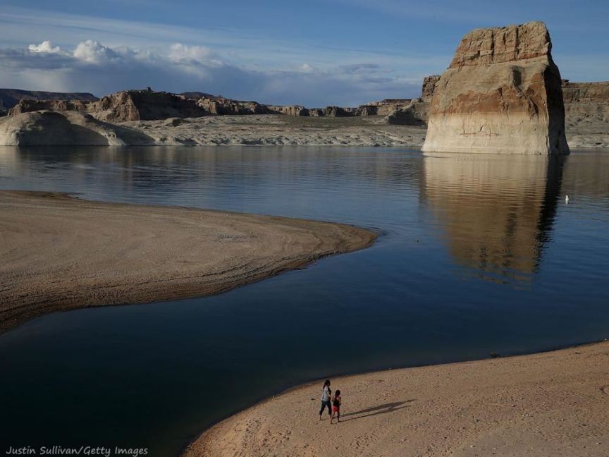
Colorado Basin Drought Photo Gallery
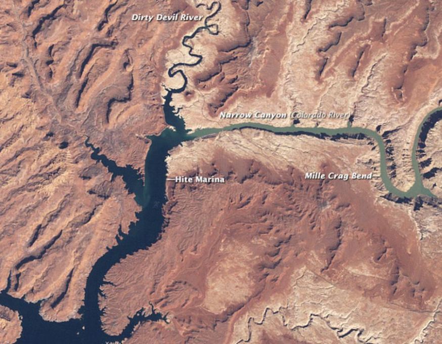
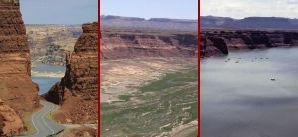
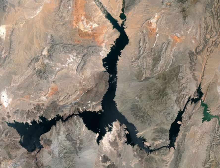
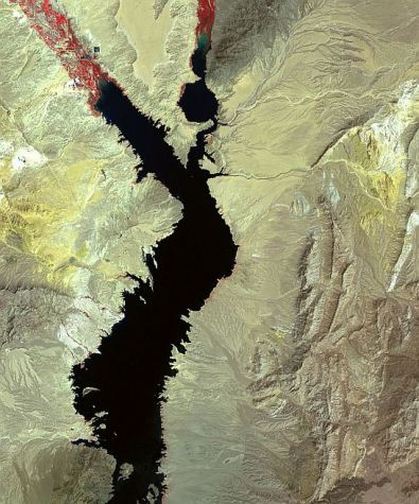
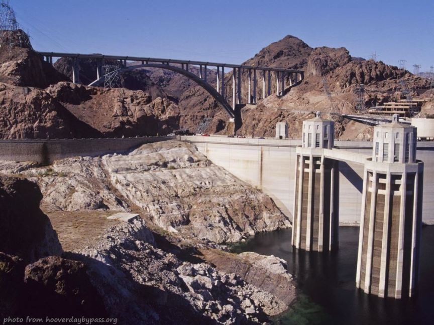
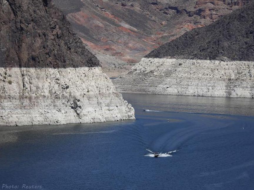
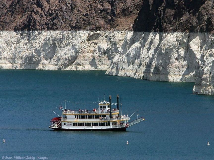
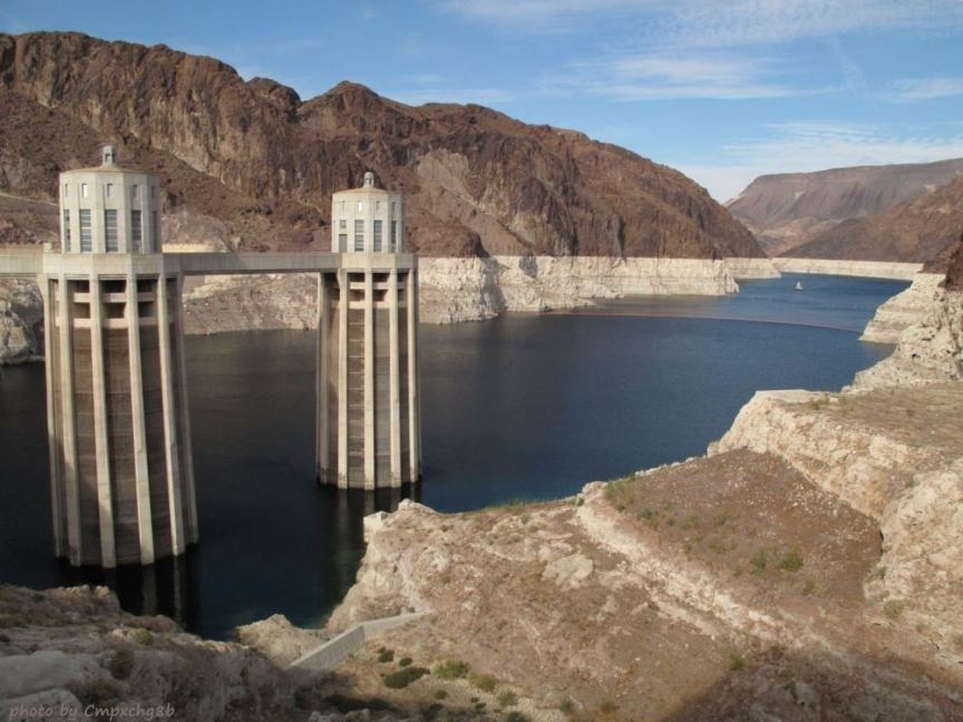
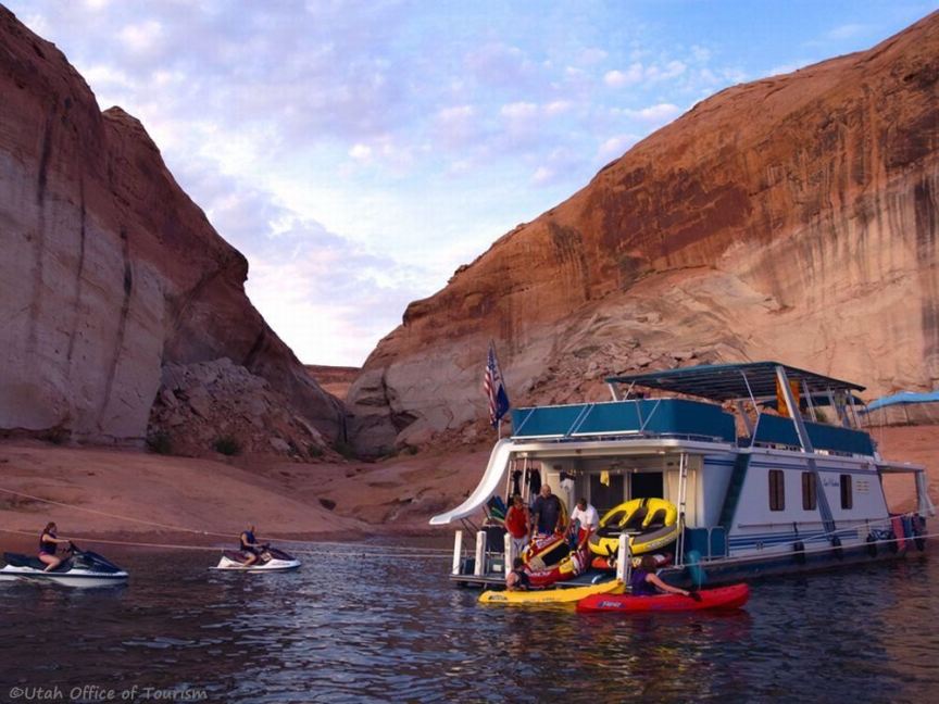
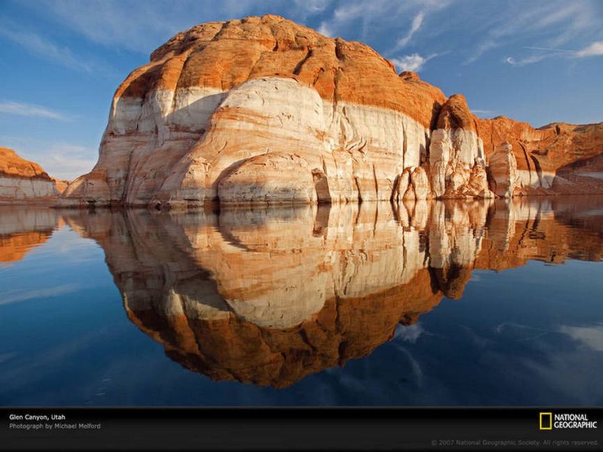
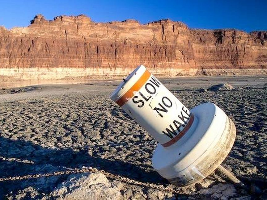
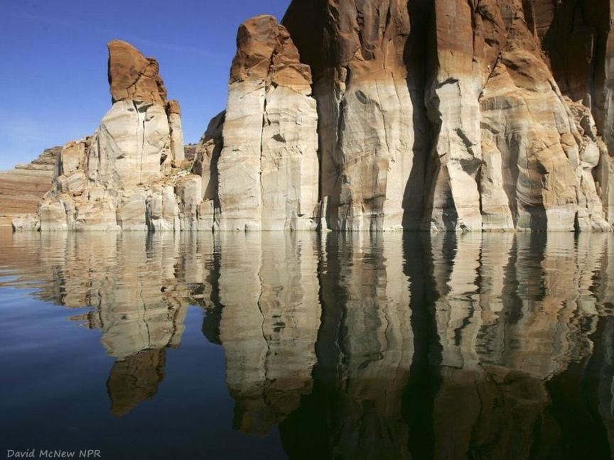
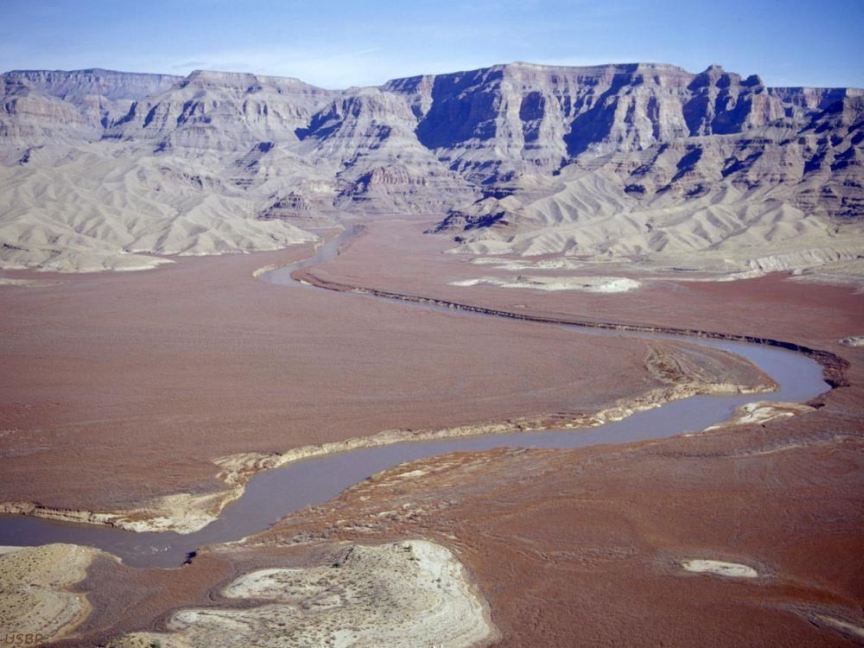
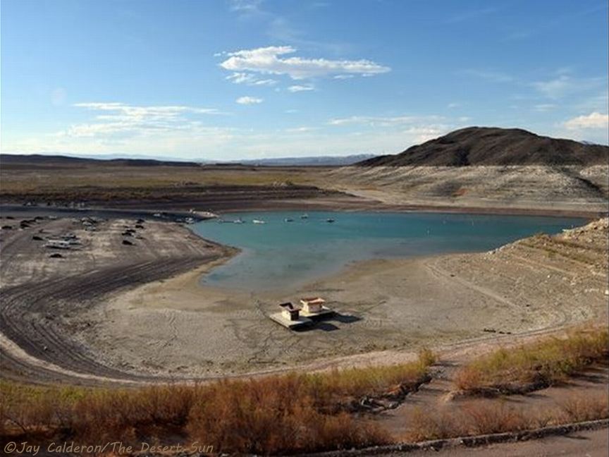
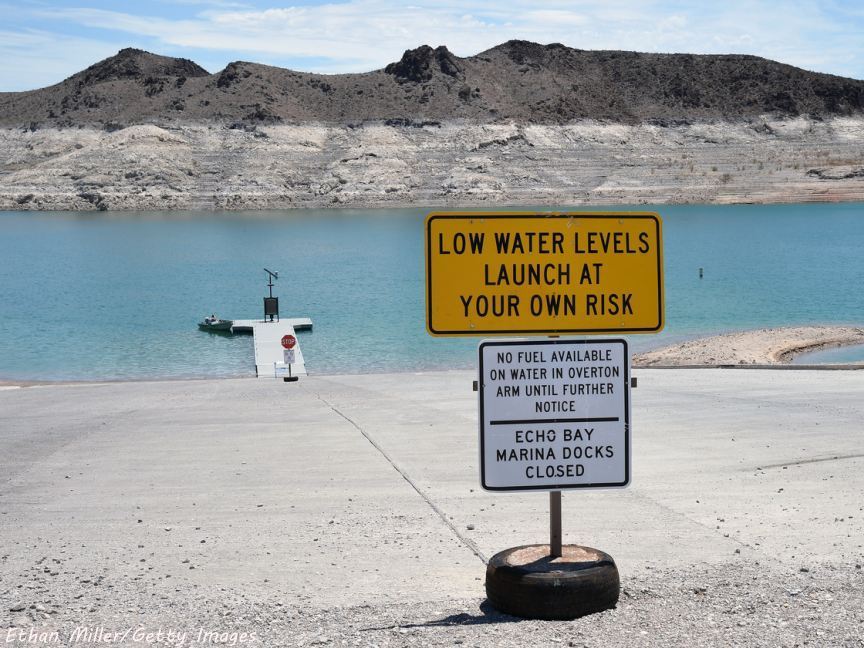
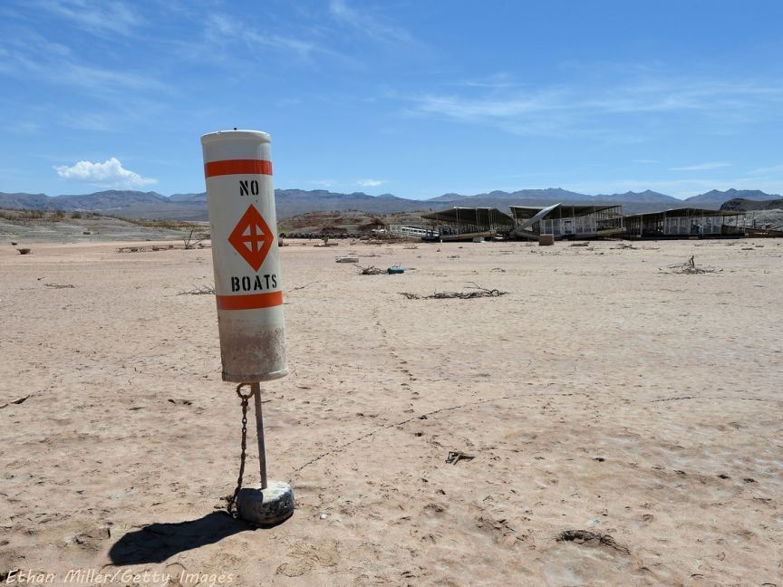
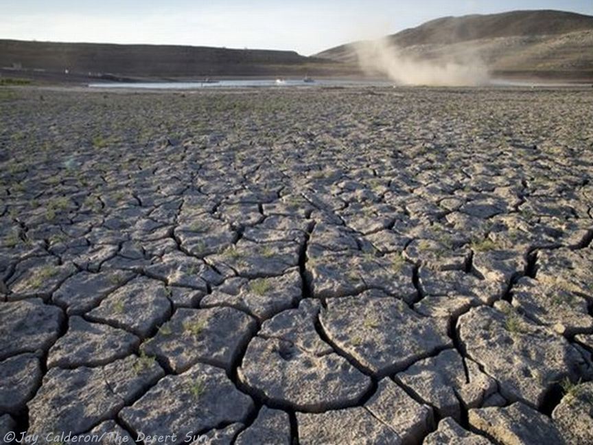
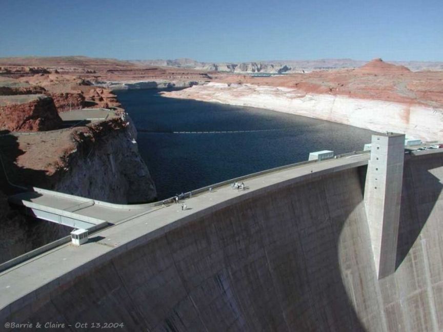
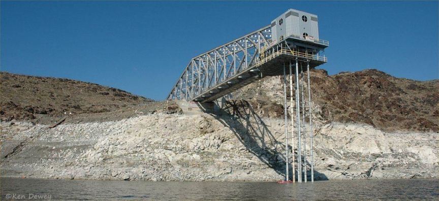
The gallery opens with four slide shows: an auto-show of overlaying annual NASA satallite images of upper Lake Powell from 1999 to 2017, with options to pause and manually choose an image; a 3-slide manual show of the varying lake levels at Hite Marina; an auto-show of NASA satellite images of Lake Mead in 2000 and 2015; and a 2-slide infrared auto-show of the Muddy and Virgin Rivers inflows to the northern tip of Lake Mead. The NASA auto-shows dramatically show the effects of the drought on the lakes' area and content. The rest of the gallery presents scenic photos of Lake Powell and Lake Mead with drought-exposed water-bleached bathtub rings [ok, so that's a joke: the water-bleached appearance is caused by calcium carbonate and other hard minerals deposited by the water on the darker sandstone, just like real bathtub rings].