Historic & Scenic Navajo Bridge
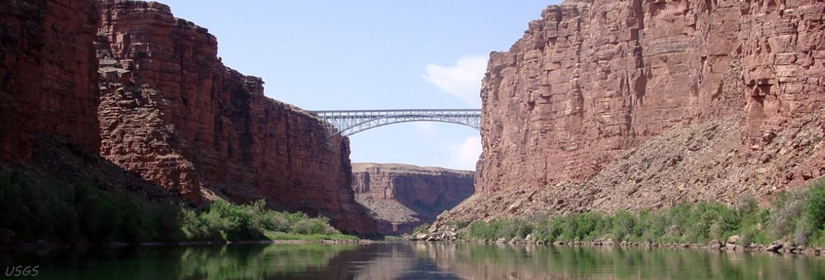
Navajo Bridge over Marble Canyon on US89A is the fourth of the five highway bridges over the Colorado.
US89A is the original route of US89 until rerouted over Glen Canyon Dam Bridge following its completion in 1959.
The re-routed US89 replaced Utah State Route 259, which Utah constructed to provide access to Glen Canyon Dam and Bridge.
Renamed Navajo Bridge in 1934, the Grand Canyon Bridge over Marble Canyon opened for traffic in January, 1929.
Outside the Grand Canyon until boundary changes in 1975, the bridge now spans a canyon with three names:
Marble Canyon, Grand Canyon, and Glen Canyon.
More about that, and how it may be that the river that flows under the bridge may have three names is in our Historic Navajo Bridge and US89 history article.
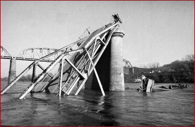
In 1990, it was decided that the traffic flow was too great for the original bridge, and that a new bridge was needed. The new bridge opened on May 2, 1995. The sharp corners in the roadway on each side of the old bridge's approach had become a safety hazard due to low visibility, and the deficiency in the original design's width and load capacity specifications were becoming problematic. For those driving large vehicles over Navajo Bridge, the new bridge is a godsend! In an earler lifetime I passed a north-bound 18-wheeler on the old bridge while driving a south-bound 18-wheeler - very carefully, and obviously, slowly. But now, given the above information, I wonder if the load had exceeded the bridge's capacity - was it near collapse? Bridge collapses are far too frequent - I crossed the Ohio River on the Silver Bridge at Gallipolis, Ohio, the day before it collapsed into the Ohio River at a cost of 46 lives, and I crossed the John Day bridge on I-80N (now I-84) alongside Columbia River in Oregon a few hours before it went down.
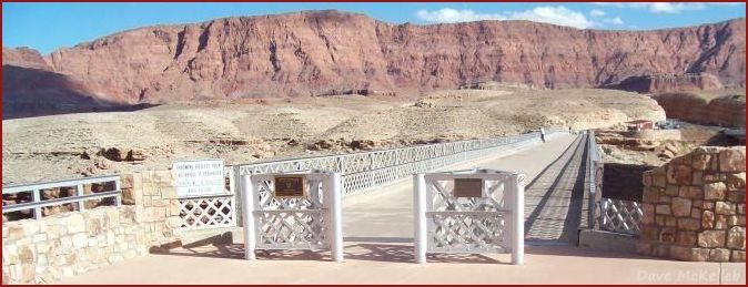
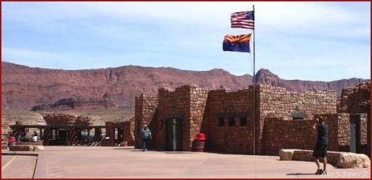
The original Navajo bridge is a pedestrian walkway with an oustanding view of the Echo Cliffs to the east and the Colorado 467' below in Marble Canyon. Coincident with the opening of the new bridge, the rest area at the west end was enlarged and named the Navajo Bridge Interpretive Center, and the northbound bridge approach at the east end is a Navajo crafts marketing area.
View Photos is an auto-show of four scenic photos of Navajo Bridge.
Map is a segment of the NPS Glen Canyon Recreation Area map showing many area attractions.