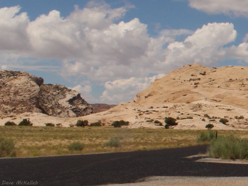
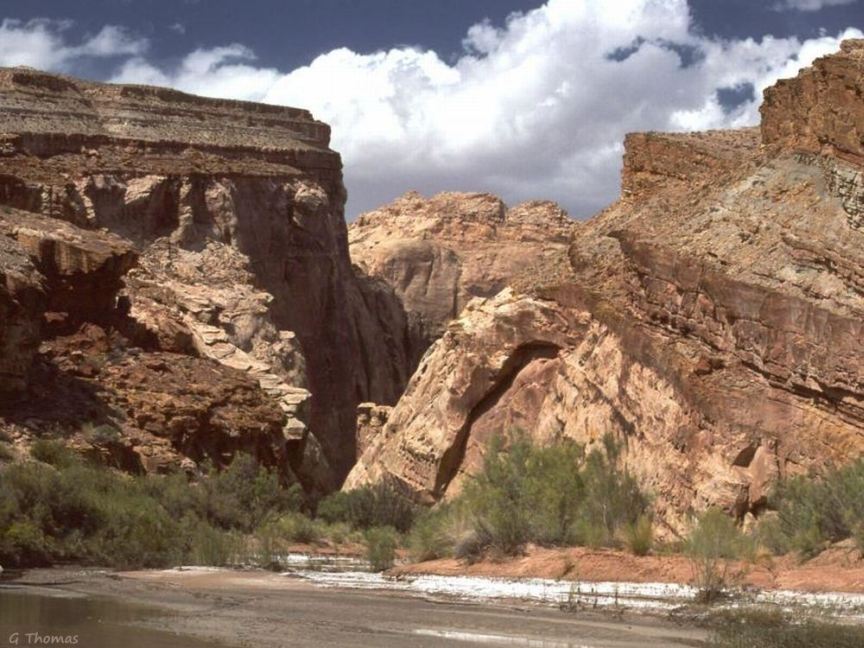
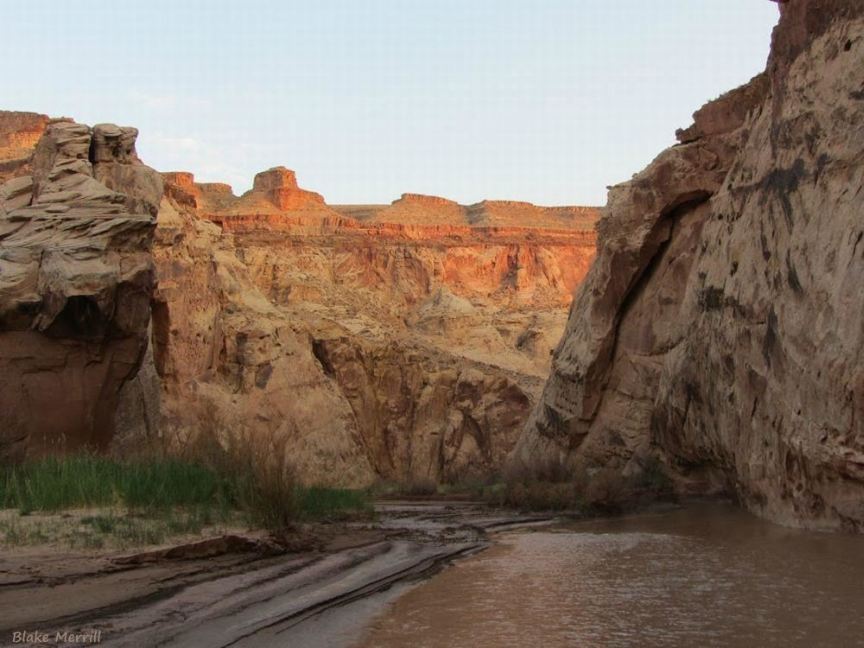
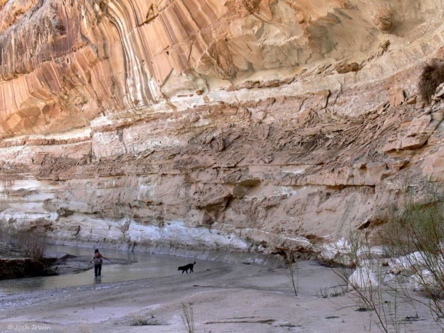
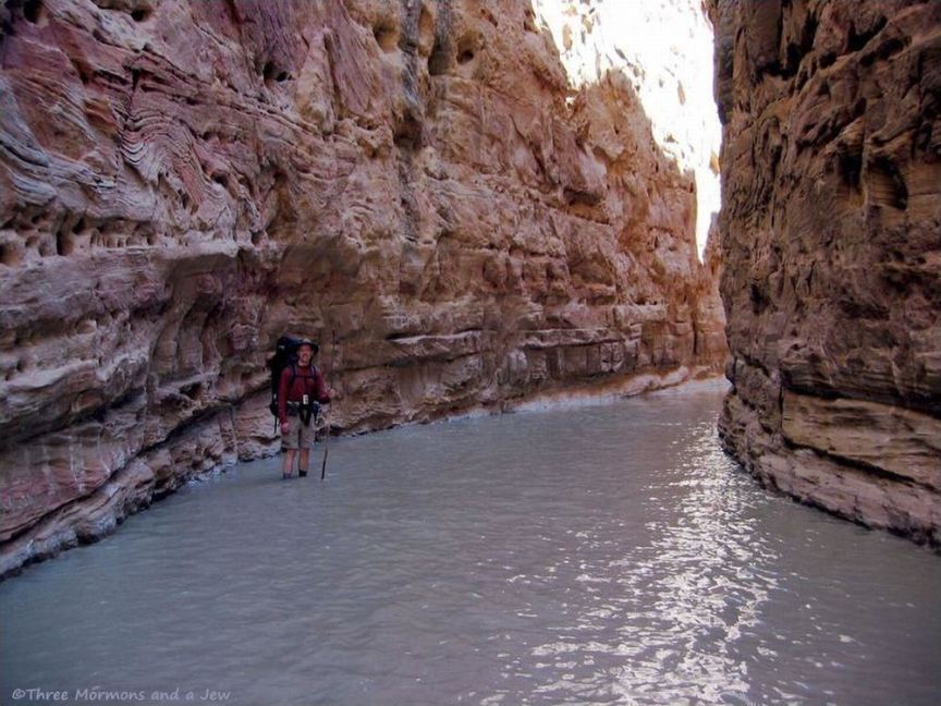
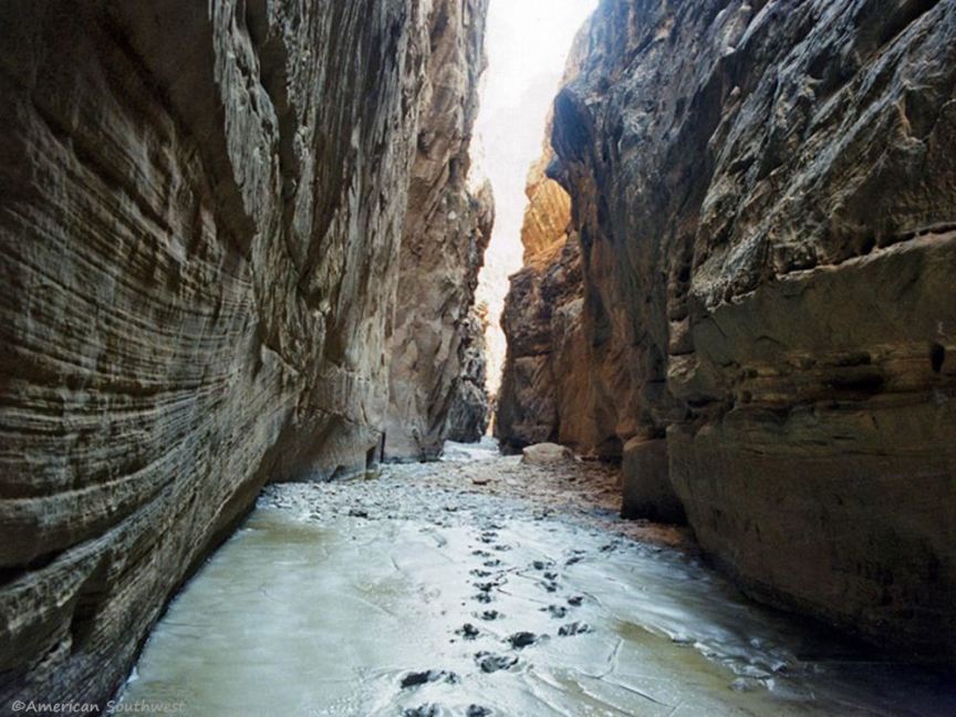
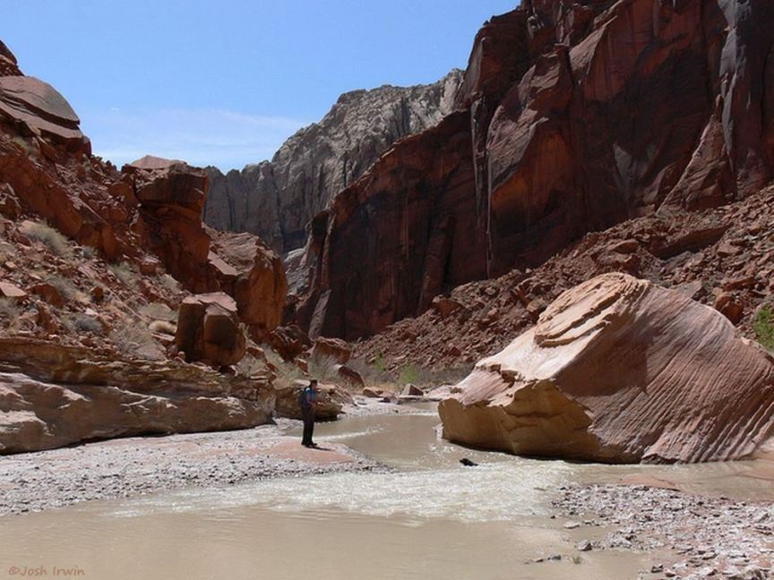
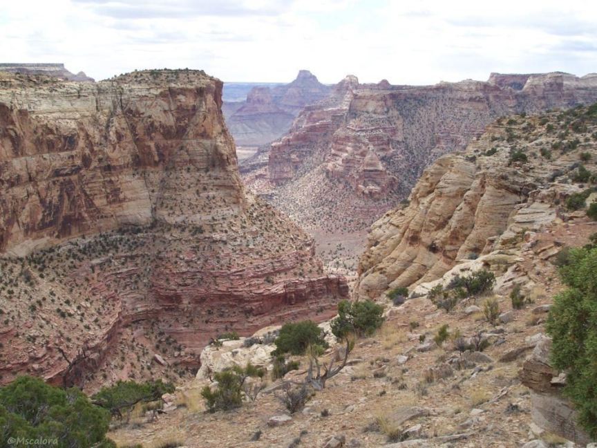
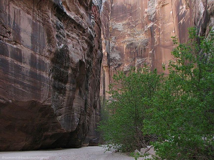
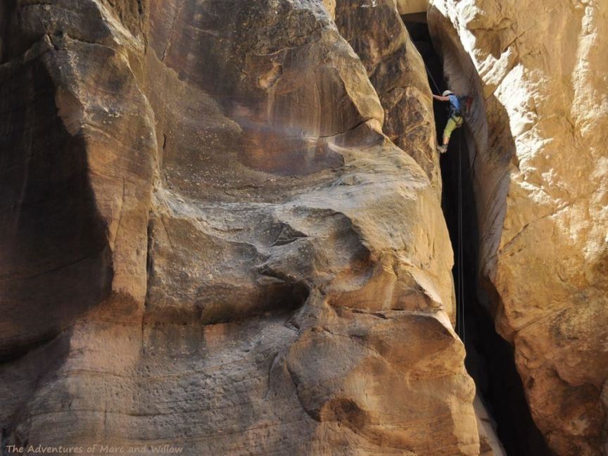
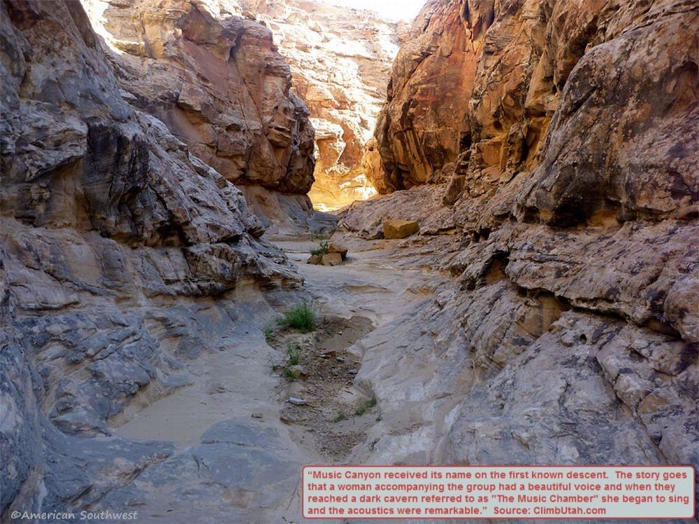
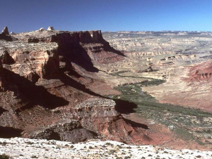
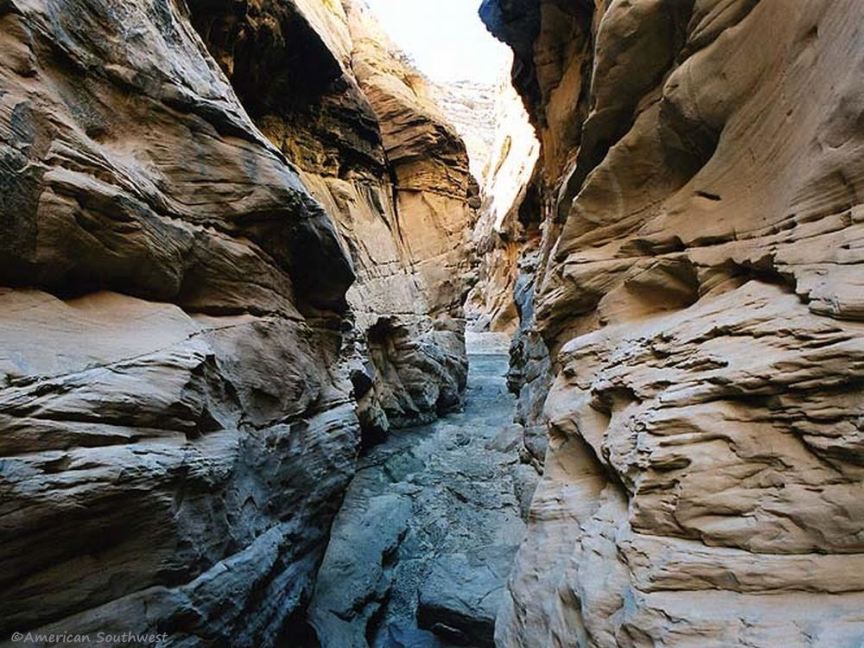
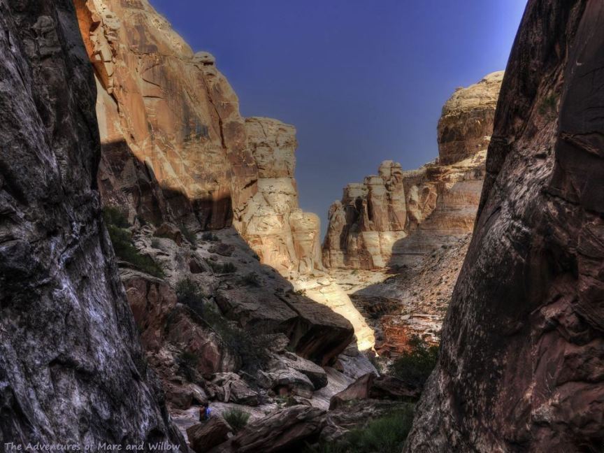
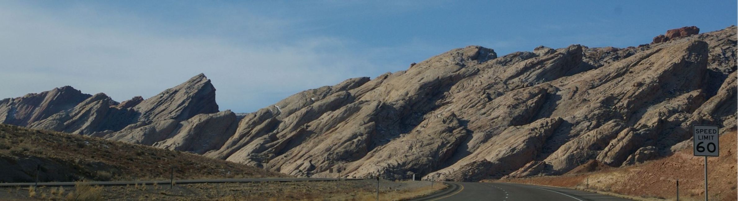
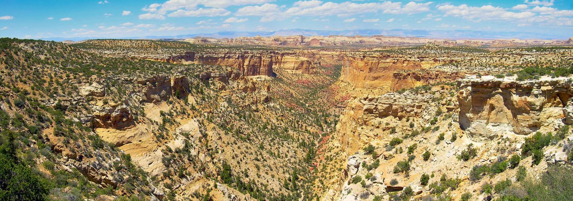
San Rafael Swell Photo Gallery
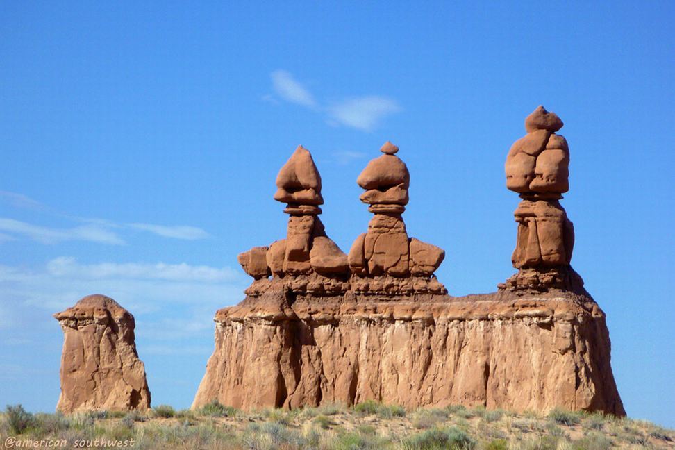
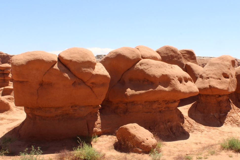
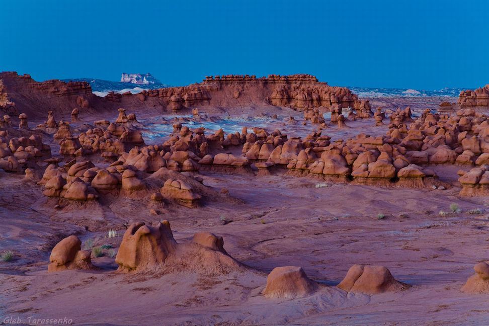
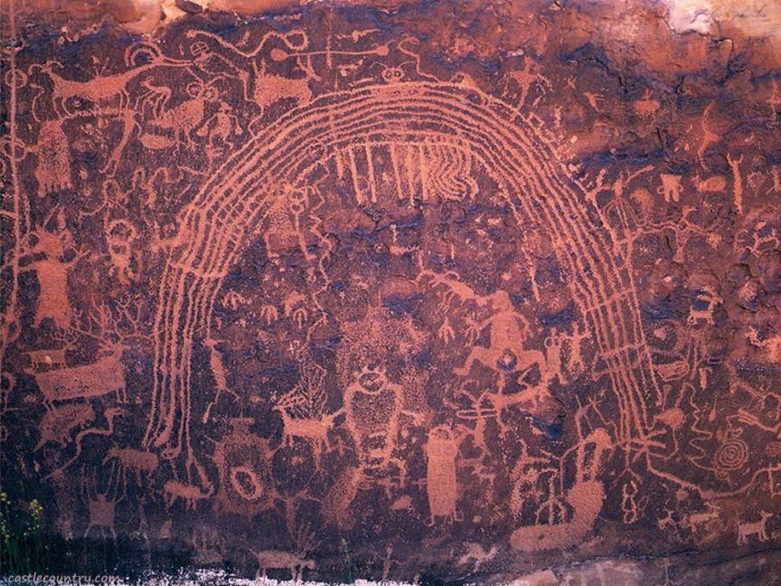
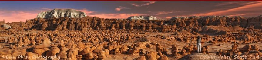
We have four representative photos of Goblin Valley here; more photos including the Goblin's Lair, and information about Goblin Valley, is available in the Goblin Valley State Park article in the State Parks menu. The Roads Less Traveled following the Rochester [rock art] Panel is a huge pdf file of 40 pages - it may take a very long time to load, displays properly only in Firefox, requires navigating dual scroll bars in Internet Explorer, and may fail to open in Google Chrome.
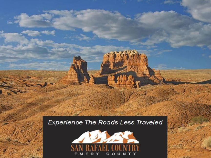
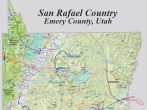
The Roads Less Traveled has a lot of information about, and photos of, the Swell. The map of San Rafael County (the next tile) is also huge, a single-page resizeable map of the Swell. Select a tile to view its photo, View photos for an auto-show of the photos; back returns to the San Rafael Swell, home goes to the Scenic Color Country home page.