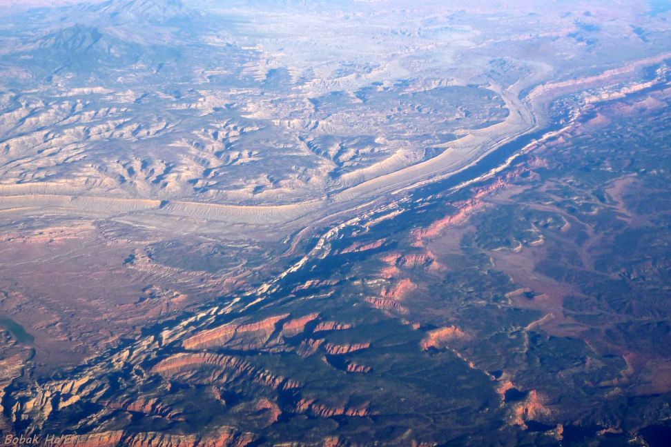
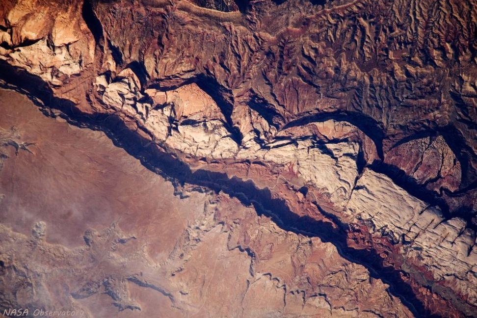
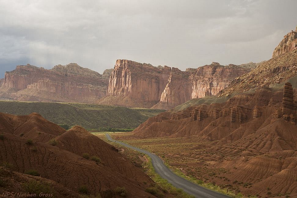
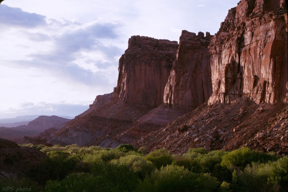
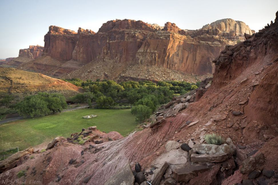
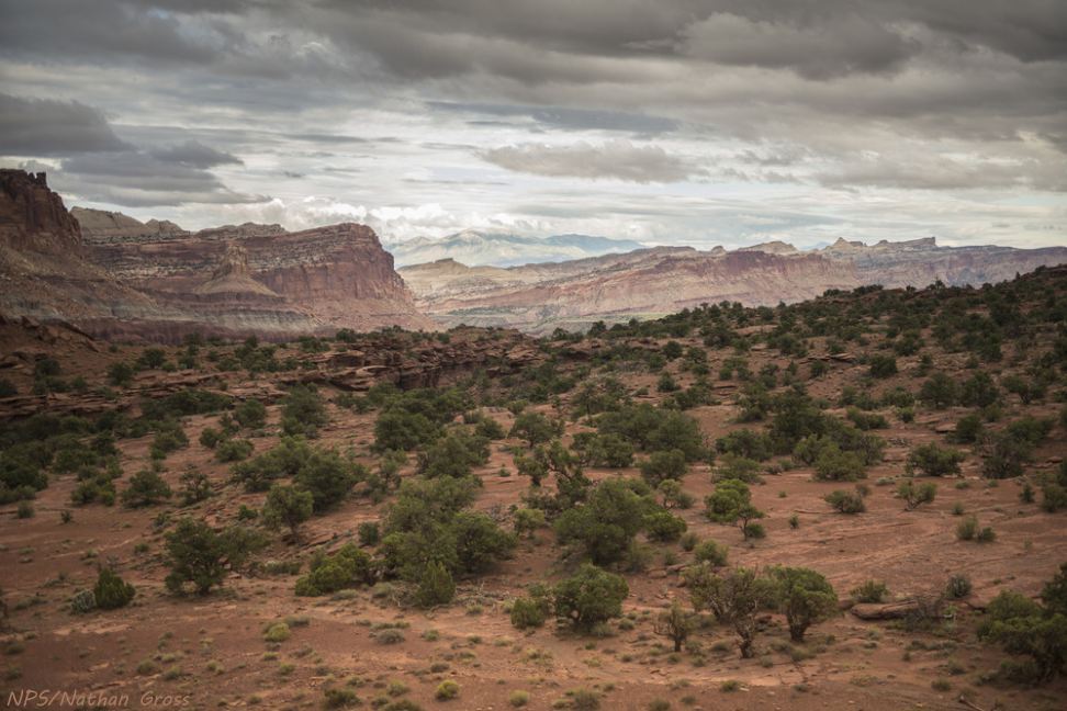
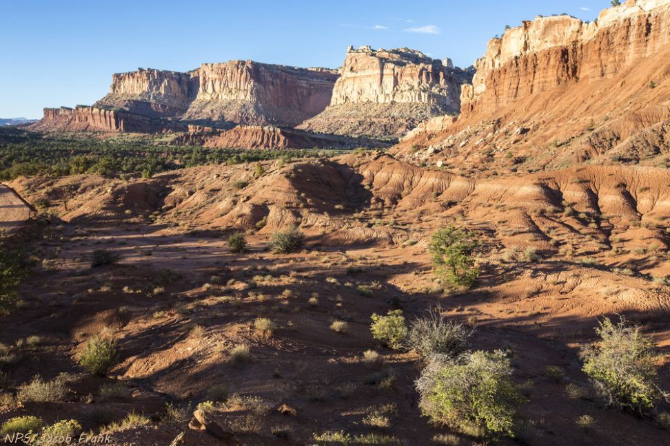
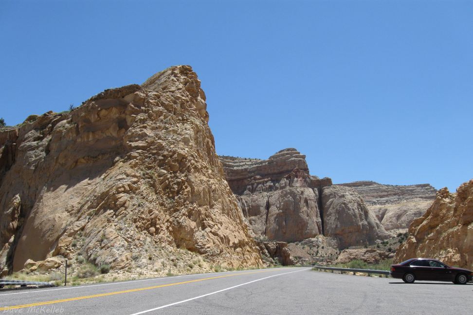
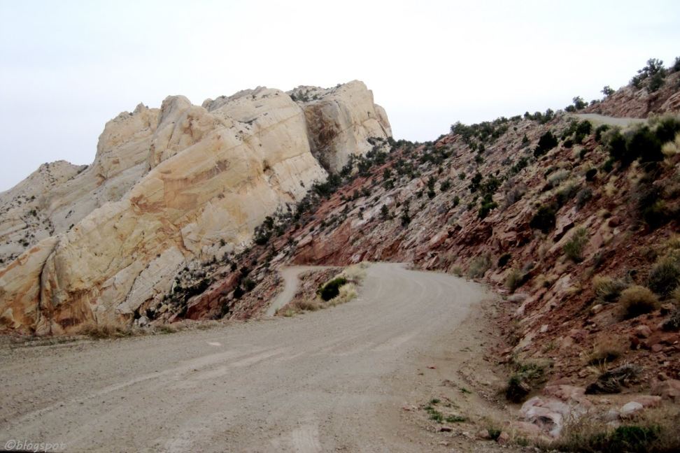
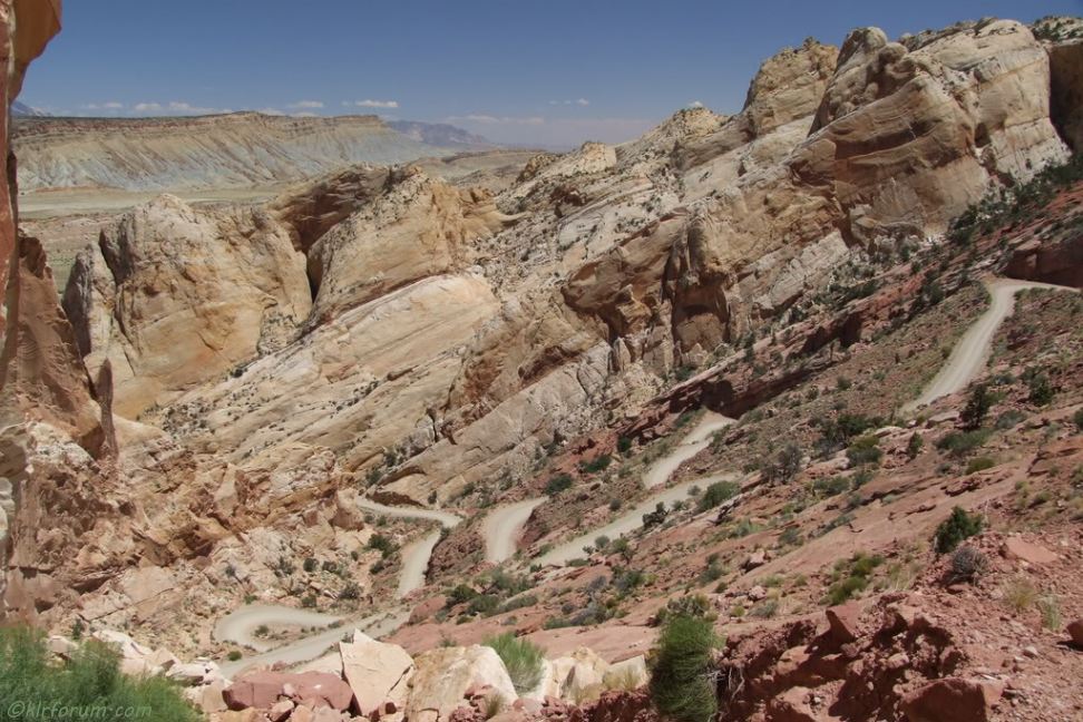
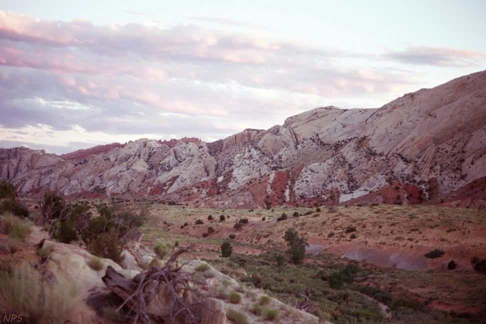
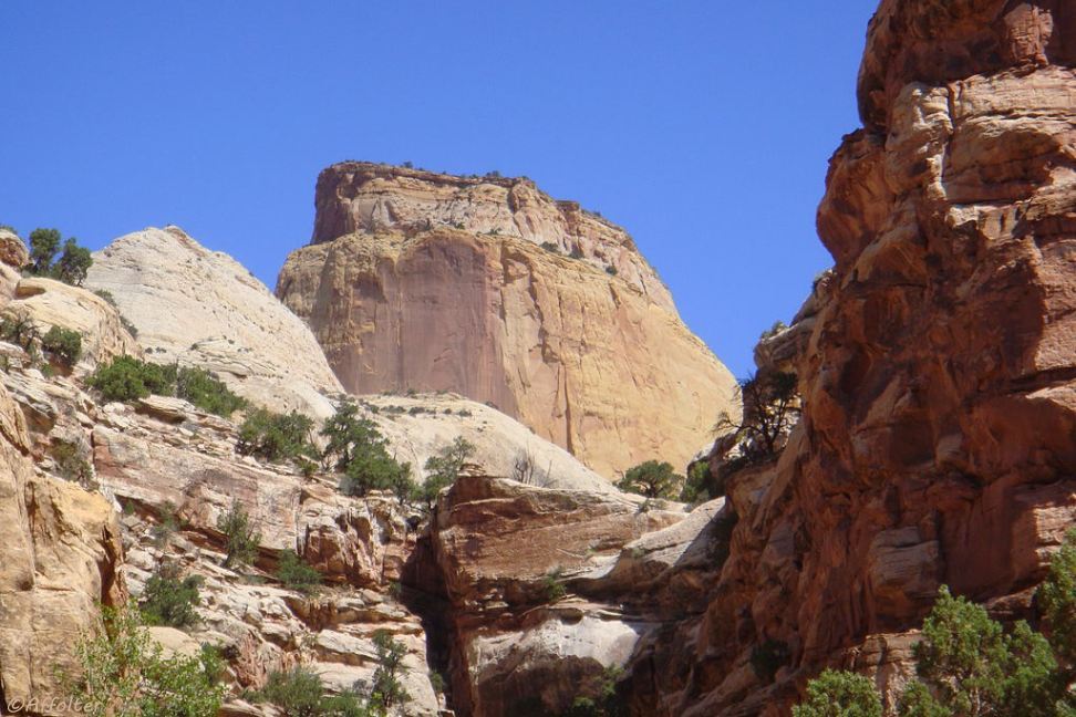
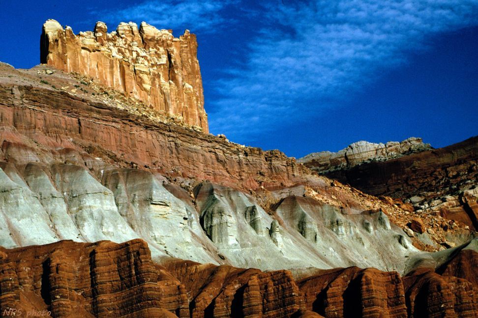
Waterpocket Fold Photo Gallery
The first two aerial photos are disoriented because of their viewpoints - this Google Earth image explains the orientation.
Similar photos may be found in the Capitol Reef National Park and Scenic Byway 24 articles.
Select a tile to view its photo, View Photos for an auto-show of the photos;
back returns to Waterpocket Fold, home goes to the Scenic Color Country home page.
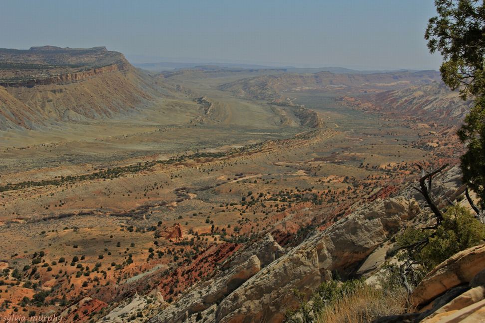
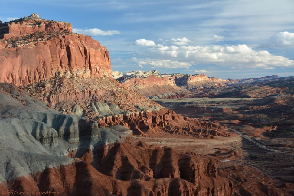
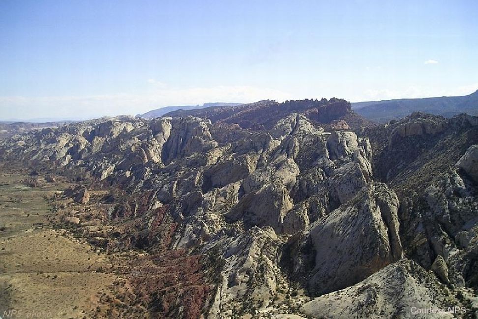
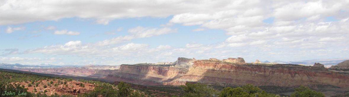
Panoramic view of the west face of Waterpocket fold – Looking north from Miners Mountain